

| Version 4 (modified by , 17 years ago) ( diff ) |
|---|
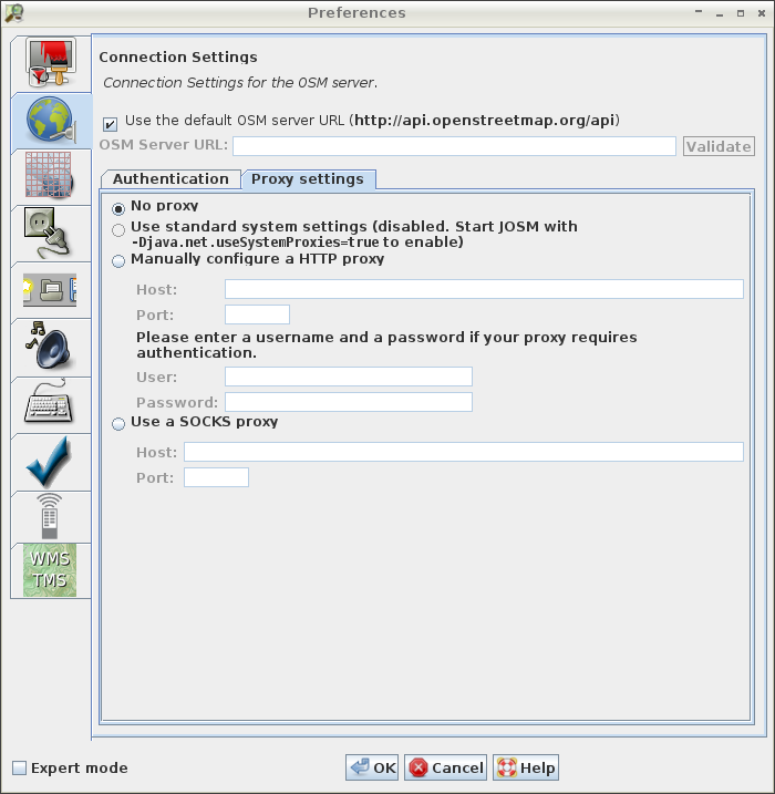
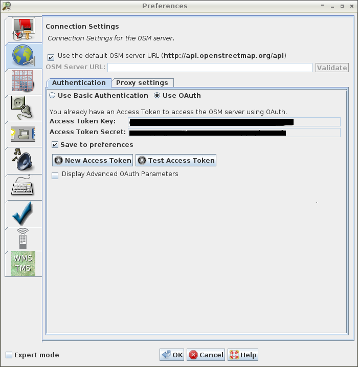
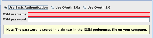
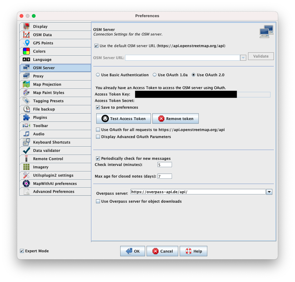
Preferences > Connection settings
OSM Connection setting
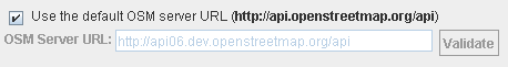
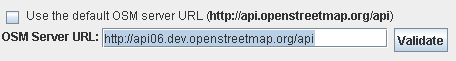
You can set the URL for requests to the OpenStreetMap server. It is very unlikely you will need to change this.
The default base server URL for the the official OSM server is "http://www.openstreetmap.org/api".
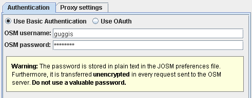
Before you upload any changes to the OpenStreetMap server you need to create an account. Your chosen username and password need to be entered on the connection settings page.
CSV import
You can import points from a CSV file, and these will be made into a way with nodes at each point taken from the import file. Example:
1) In the CSV import format section of Preferences > Connection settings put "lat,lon" (without the quotation marks).
2) Create a text file with a series of coordinates on each line eg:
50.6944,-1.185
50.6946,-1.1813
50.694,-1.176
50.693,-1.1723
50.693,-1.168
50.6905,-1.1684
50.6873,-1.1686
3) Open the file in JOSM (CTRL + O), you will now have a new layer.
4) In the layers panel right click the new layer, and click "convert to data layer".
Back to Main Help
Attachments (9)
- basic-authentication.png (7.5 KB ) - added by 15 years ago.
- use-default-api-url.png (3.1 KB ) - added by 14 years ago.
- use-custom-api-url.png (3.5 KB ) - added by 14 years ago.
-
proxy-settings.png
(68.9 KB
) - added by 12 years ago.
new proxy-settings
-
oauth-authentication.png
(69.2 KB
) - added by 12 years ago.
oauth screenshot
-
PreferencesOsmServer.png
(138.1 KB
) - added by 3 years ago.
new screenshot
-
PreferencesOsmServerExpert.png
(149.0 KB
) - added by 3 years ago.
new expert mode screenshot
- basic-authentication.2.png (14.6 KB ) - added by 9 months ago.
-
oauth-2-authentication.png
(217.3 KB
) - added by 9 months ago.
OAuth 2.0 authentication (logged in)
Download all attachments as: .zip